GeoRED Mapping Tool Now Available for Public Use
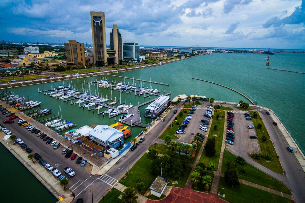
Corpus Christi, TX – The Geospatial Resilient Economic Development (GeoRED) platform, a geographic information system, is now available for public use. The Regional Resilience Partnership (RRP) – a formal partnership of the Harte Research Institute for Gulf of Mexico Studies (HRI) at Texas A&M University Corpus Christi (TAMUCC) and the Coastal Bend Council of Governments (COG) – created the platform and its tools to provide communities of the Texas Coastal Bend free access to tailored, local data for building resilience to disaster and economic risks. Currently, GeoRED covers seven of the eleven counties of the Coastal Bend including Aransas, Bee, Kenedy, Kleberg, Nueces, Refugio and San Patricio.
GeoRED encourages the use of GIS mapping and analysis for more holistic risk assessment, social, economic and ecological resilience planning, and can be used to build community partnerships. GeoRED houses publicly available data in four separate data viewer tools for users to narrow their searches related to 1) Hazard Impact and Planning; 2) Social Vulnerability; 3) Economic Development; or 4) Environmental Resilience. These tools are pre-populated with data noted as important to decision-making by local experts engaged throughout GeoRED development. Users also can add or retract data layers from the tools to fit their queries. A set of scenarios further guides users in which data layers may be best suited to which types of management decisions or queries.
In addition, GeoRED enables sharing of data across county and municipal lines, which strengthens regional development goals as well as disaster mitigation efforts, allowing jurisdictions to proactively engage in collaborative planning and understand the risks and needs of not only their own communities but also those nearby.
GeoRED can be used in several ways, including:
- Engaging communities in comprehensive planning
- Understanding the intersections of social vulnerability, risk, and economic diversification
- Integrating different data sets to better understand risk and resilience
- Conducting pre-disaster recovery planning
- Assessing redundancy in broadband networks
- Promoting smart growth practices across different neighborhoods
- Understanding potential restoration sites
The development of GeoRED was funded with grants from the Economic Development Administration and Texas OneGulf Center of Excellence.
Questions regarding GeoRED can be directed to HRI Program Manager, Christine Hale, at christine.hale@tamucc.edu.
This project was paid for in part with federal funding from the Department of the Treasury through the State of Texas (Texas Commission on Environmental Quality) under the Resources and Ecosystems Sustainability, Tourist Opportunities, and Revived Economies of the Gulf Coast States Act of 2012 (RESTORE Act). The content, statements, findings, opinions, conclusions, and recommendations are those of the author(s) and do not necessarily reflect the views of the State of Texas or the Treasury.